



Services
3D scanning of the facility
The R-Technologies Companyprovides services in 3D laser scanning of the facility before the design work starts. The purpose of the scanning is to obtain the most complete spatial geometric model of the scanned facility and its parts in their current state. Any building or structure, or part of them, any utilities, and similar items can act as a facility.
The measurements results are used in the future as initial information for:
- identification or refinement of actual design decisions for the facility;
- identification of the spatial position of the facility and its parts;
- correction of the geometric shapes of the facility individual elements;
- identification of the facility structures deformations;
- architectural monitoring of the facility state;
- dimentioning calculations of the facility or its elements;
- preparation of source materials for design and restoration work;
- three-dimensional modeling with subsequent 3D visualization.
Measuring is carried out in two stages: field and desk-top.
At the field stage, special tools are used for collecting the geometrical characteristics of the facility (measurements using 3D scanning technologies) and photographic fixation. 3D scanning is performed with laser scanning and is a spatial raster (point cloud) that preserves the exact geometry. This allows getting the entire range of the necessary types of facilities. Moreover, with the point cloud, any measurements can be made without re-visiting the facility.
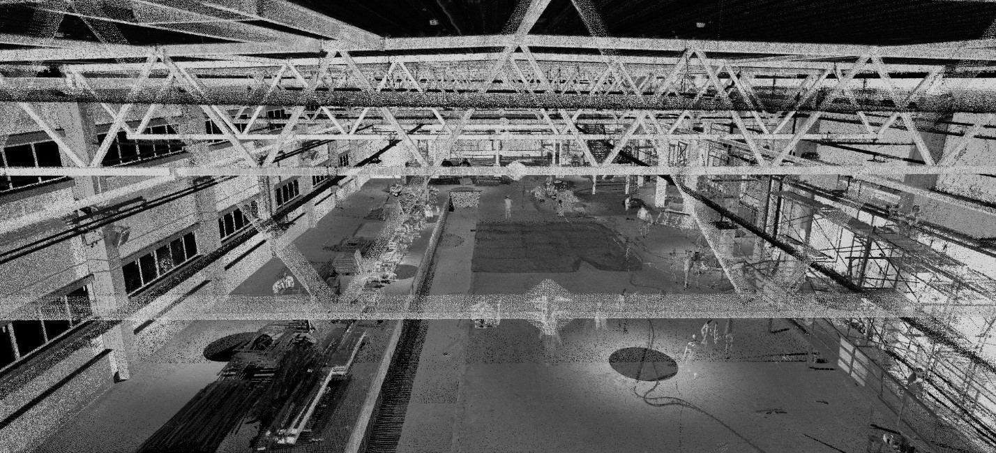
The obtained information processing is carried out with specialized software which merge the obtained information into one single point cloud.
Based on the measurements obtained, large-scale orthogonal drawings of the main projections of the building and its parts are made. As a result of desk-top processing of laser scanning data, the following materials are created:
- 3D modeling;
- individual elements drawings;
- plans drawings;
- sections drawings;
- facades drawings;
- 3D modeling.
On the basis of three-dimensional models, the development of the building information model (BIM) is possible.
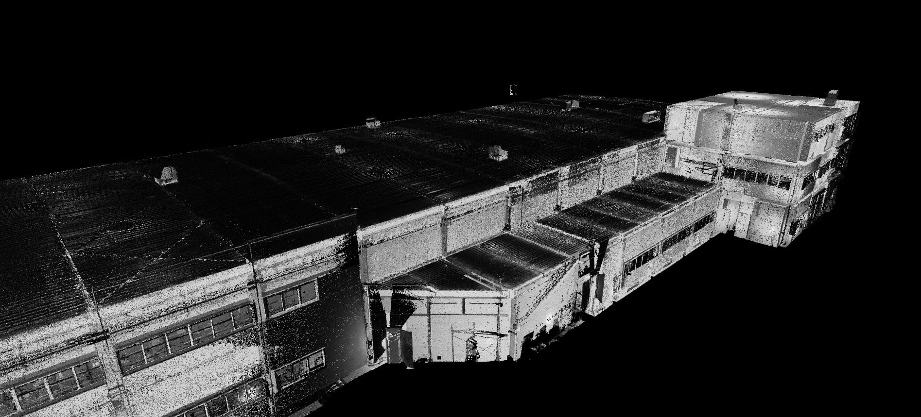
Laser scanning as one of the measurement methods has a number of significant advantages:
- the ability to take measurements in hard-to-reach places, to record as many details as possible about curvilinear elements geometry, existing communications, elements not included in as built drawings.
- the results of facades and interior spaces scanning are in a single coordinate system, which allows integrating them into a single model and thus avoiding possible inaccuracies in the location of individual elements or rooms in height and/or in plan;
- the point cloud can always be used repeatedly if it is necessary to obtain extra data without additional field work at the facility;
- the operation speed during three-dimensional survey increases with maintaining the entire data. All the items in a whole ensure very high accuracy and completeness of the initial data.
To order a facility three-dimensional scanning, it is enough to send a request to our email address or contact us by phone number in the contact information.